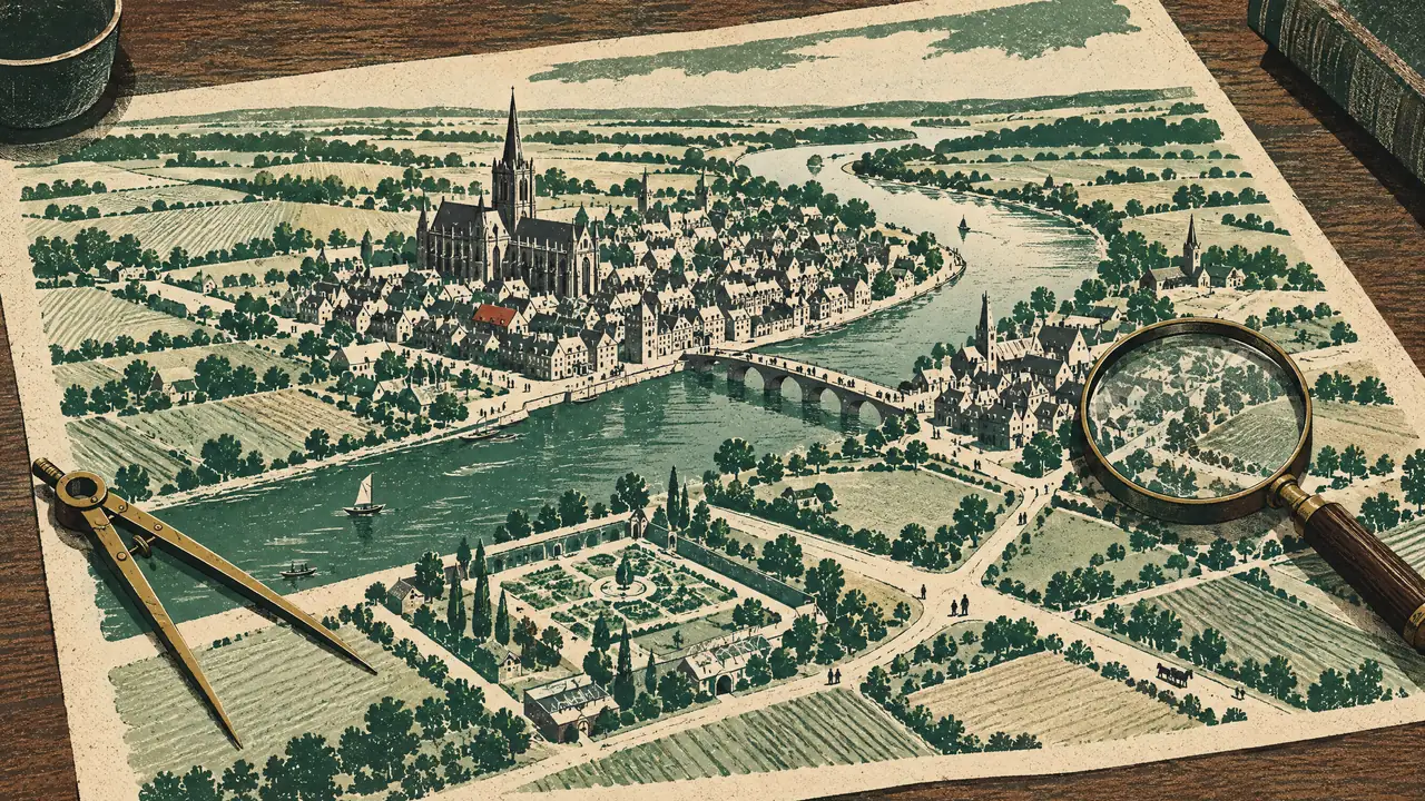
Glasgow enters cartography as a smudge with a steeple: Timothy Pont’s manuscript surveys of the 1590s, the heroic one-man mapping of Scotland, show a modest kirk-town on the Clyde, and the Dutch atlases that engraved his work carried that Glasgow to Europe’s libraries. For the next century and a half the town sits small in county maps while its story, as this site tells it, gathers; the first true plans arrive with the tobacco age’s self-regard.
John McArthur’s plan of 1778 is the great portrait of pre-industrial Glasgow: the medieval cross of streets, the new merchant grid pushing west, the villages, Grahamston conspicuously alive, awaiting their fates, and the Green, gardens and bleachfields wrapping a town about to detonate. Peter Fleming’s superb 1807 plan catches the detonation’s first seconds; the city then outran its mapmakers for decades, each survey obsolete at the printer’s, until the state caught it definitively.
The Ordnance Survey’s large-scale Town Plans of the 1850s–90s are the masterpiece, and this site’s constant silent companion: Glasgow drawn at scales down to five feet to the mile: every close, stair, works, wynd and washhouse; the lost streets before their losing; the buried burns still blue; individual trees in the Necropolis. Beside them sit the specialist genres: Goad’s fire-insurance plans colour-coding every warehouse’s contents, railway and harbour surveys, and the 1864 bird’s-eye views that drew the smoking city as a single breathing machine.
The miracle is access: the National Library of Scotland has digitised the lot and serves them free online, georeferenced: meaning any reader of this site can slide a transparency of 1857 over today’s streets on a phone, standing on the spot. It is the single best tool Glasgow history offers the curious, and half this section’s pages, lost villages, lost streets, buried rivers, are written to be read with it open.
Maps are this site’s premise made visible: that the present city is the past city, annotated. Learn to read the sequence, Pont’s smudge, McArthur’s grid, the OS’s teeming inches, this morning’s satellite, and Glasgow stops being a place with a history and becomes what it actually is: history, with people living in it.